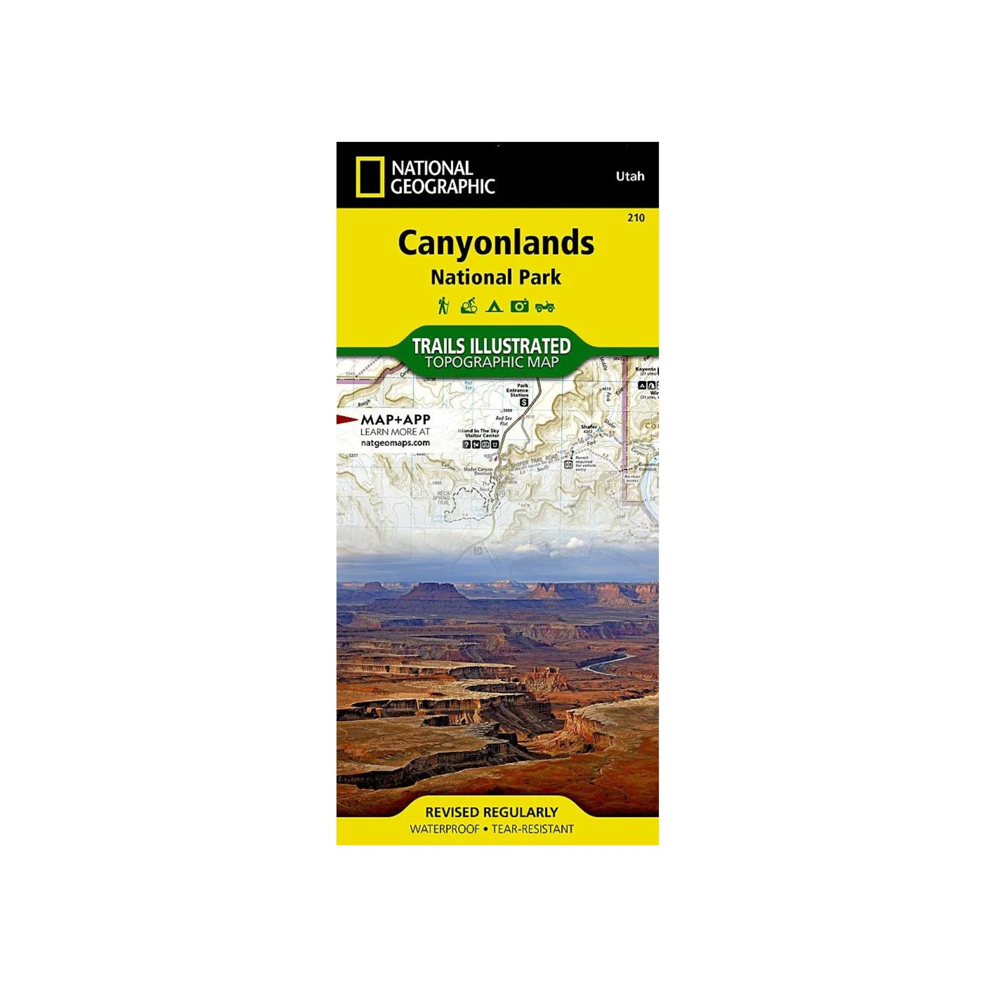
National Geographic 210: Canyonlands National Park Map
National Geographic's Trails Illustrated map of Canyonlands National Park is designed to meet the needs of outdoor enthusiasts by combining valuable information with unmatched detail of this mesmerizing landscape of river canyons and fantastically formed buttes. Expertly researched and created in partnership with local land management agencies, this map is loaded with helpful information on the park's archaeology, Glen Canyon, Horseshoe Canyon, backcountry safety, park regulations and more. Key areas of interest featured on this map include Canyon Rims Recreation Area; Glen Canyon National Recreation Area; the Island in the Sky district; the Needles district; and the Maze district.
With miles of clearly marked trails that include mileages between intersections, this map will prove invaluable in your exploration of the park. River mileage on the Colorado and Green rivers is noted as well, for those exploring the winding river canyons by boat. Some of the many recreation features include visitor centers, campgrounds, points of interest, scenic overlooks, and boat launch sites. The map base includes contour lines and elevations for summits and passes.
Every Trails Illustrated map is printed on "Backcountry Tough" waterproof, tear-resistant paper. A full UTM grid is printed on the map to aid with GPS navigation.
Other features found on this map include: Canyonlands National Park, Glen Canyon National Recreation Area, Green River, Orange Cliffs, Soda Springs Basin.
Product Information
Product Information
Shipping & Returns
Shipping & Returns
Description
National Geographic's Trails Illustrated map of Canyonlands National Park is designed to meet the needs of outdoor enthusiasts by combining valuable information with unmatched detail of this mesmerizing landscape of river canyons and fantastically formed buttes. Expertly researched and created in partnership with local land management agencies, this map is loaded with helpful information on the park's archaeology, Glen Canyon, Horseshoe Canyon, backcountry safety, park regulations and more. Key areas of interest featured on this map include Canyon Rims Recreation Area; Glen Canyon National Recreation Area; the Island in the Sky district; the Needles district; and the Maze district.
With miles of clearly marked trails that include mileages between intersections, this map will prove invaluable in your exploration of the park. River mileage on the Colorado and Green rivers is noted as well, for those exploring the winding river canyons by boat. Some of the many recreation features include visitor centers, campgrounds, points of interest, scenic overlooks, and boat launch sites. The map base includes contour lines and elevations for summits and passes.
Every Trails Illustrated map is printed on "Backcountry Tough" waterproof, tear-resistant paper. A full UTM grid is printed on the map to aid with GPS navigation.
Other features found on this map include: Canyonlands National Park, Glen Canyon National Recreation Area, Green River, Orange Cliffs, Soda Springs Basin.