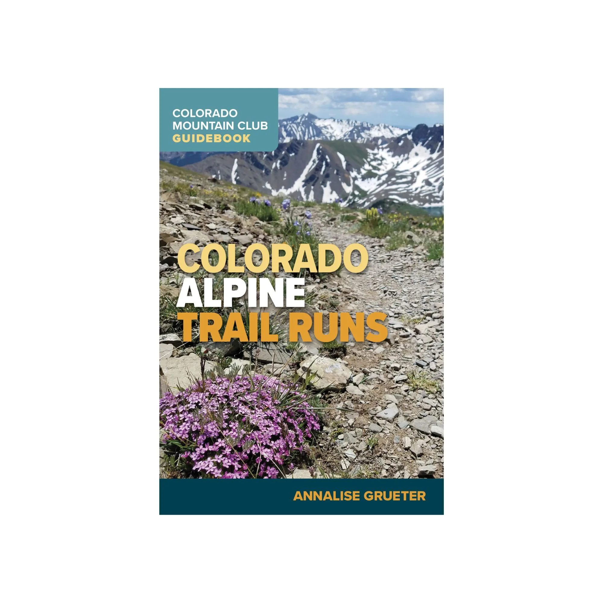
Colorado Alpine Trail Runs (Colorado Mountain Club Guidebook)
Mountain running and skyrunning are sports becoming more and more popular in the US. This guidebook has information on forty-five trails in Colorado found in six different areas—the Front Range, Summit County, Elk Range, San Juan Range, Sangre De Cristo Range, and Sawaatch Range.
It opens with a good introductory section that explains the different kinds of runs and how to use the guide, with a Data Section and Other Route Details; Leave No Trace and Trail Guidelines; Ten Essentials; and Safety, Gear, and Fueling. Runs at a Glance is a two-page section with the trail name, mileage, difficulty, vertical gain, starting elevation, high point, and whether or not there is an add-on.
Each range section starts with an overall map showing the trailheads. Each trail has the total distance, starting elevation, high point elevation, total elevation gain, difficulty, round-trip time, runability, and nearest town. This is followed by a short paragraph overview, getting there, the route, some photographs, and an excellent map of the trail. The back of the book has a checklist for all the trails and a little space for a note or two.
Original: $24.95
-65%$24.95
$8.73Product Information
Product Information
Shipping & Returns
Shipping & Returns
Description
Mountain running and skyrunning are sports becoming more and more popular in the US. This guidebook has information on forty-five trails in Colorado found in six different areas—the Front Range, Summit County, Elk Range, San Juan Range, Sangre De Cristo Range, and Sawaatch Range.
It opens with a good introductory section that explains the different kinds of runs and how to use the guide, with a Data Section and Other Route Details; Leave No Trace and Trail Guidelines; Ten Essentials; and Safety, Gear, and Fueling. Runs at a Glance is a two-page section with the trail name, mileage, difficulty, vertical gain, starting elevation, high point, and whether or not there is an add-on.
Each range section starts with an overall map showing the trailheads. Each trail has the total distance, starting elevation, high point elevation, total elevation gain, difficulty, round-trip time, runability, and nearest town. This is followed by a short paragraph overview, getting there, the route, some photographs, and an excellent map of the trail. The back of the book has a checklist for all the trails and a little space for a note or two.